# मार्ग व मानचित्र

Location in, Rajasthan
 
 
Proper name: Balaji Temple
 
बालाजी मंदिर
 
 
Geography
 
Coordinates: 26.94°N 76.79°E
 
Country: India
 
State: Rajasthan
 
District:Karauli district
 
Location:Mahendipur, Todabhim near by Hindaun


How to Reach

Air Rail Road
     

Delhi, Jaipur and Agra are the nearest airport to reach Mehandipur Balaji. Further, journey towards can be continued through well connected road and railway networks from these locations.

Agra, Jaipur, Alwar, Bharatpur, Bandikui and Dausa are the nearest railway stations. These stations have well connected railway network.

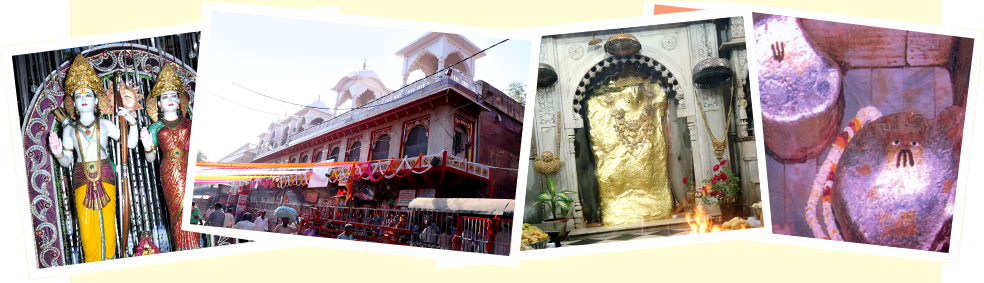
The Mehandipur Balaji Temple is well connected with above cited stations There are frequent buses from all the major cities nearby. This is located on Bikaner-Agra highway (NH-11).


  City To Destination KM
         
  fnYyh '' esgUnhiqj ckykth 255
         
  t;iqj '' esgUnhiqj ckykth 100
         
  ckanhdqbZ '' esgUnhiqj ckykth 27
         
  vyoj '' esgUnhiqj ckykth 80
         
  Hkjriqj '' esgUnhiqj ckykth 80
         
  nkSlk '' esgUnhiqj ckykth 35
         
  jsokM+h '' esgUnhiqj ckykth 177
         
  gfj}kj '' esgUnhiqj ckykth 455